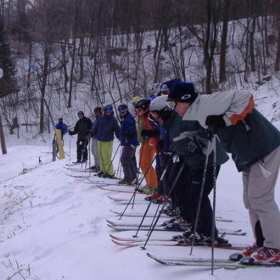
The lakes are freezing over so the lake enhanced upslope snow will be limited..2 to 3 inches on the backside? but then i've been watching the models the last few days that seem to be trying to pull a coastal closer in to the coast for sat which NWS is starting to mention in the f-cast discusions...Keep hope alive that a layer of ice & sleet will protect the base for awhile before the rain comes down & then some freshies to coat the mess & then maybe a few more inches for sat if we can get the low move closer. I think it will be allright

I'm still thinking we will be allright
NWS F-Cast 4000' WV Mountains....
Today: A chance of rain and snow showers before noon, then snow showers likely. Cloudy, with a temperature falling to around 14 by 4pm. Wind chill values as low as -8. Windy, with a west wind between 34 and 38 mph, with gusts as high as 49 mph. Chance of precipitation is 60%. Total daytime snow accumulation of less than one inch possible.
Tonight: Snow showers likely. Cloudy, with a low around 3. Wind chill values as low as -17. Windy, with a west wind between 29 and 34 mph, with gusts as high as 49 mph. Chance of precipitation is 70%. New snow accumulation of 1 to 3 inches possible.
Thursday: A chance of snow showers, mainly before noon. Cloudy, then gradually becoming mostly sunny, with a high near 18. Wind chill values as low as -19. Breezy, with a west wind between 15 and 24 mph, with gusts as high as 37 mph. Chance of precipitation is 40%.
Thursday Night: Partly cloudy, with a low around 10. Wind chill values as low as zero. West wind between 8 and 11 mph becoming calm.
Friday: A slight chance of snow after 4pm. Mostly sunny, with a high near 36. West wind between 9 and 14 mph. Chance of precipitation is 20%.
Friday Night: Snow and sleet likely, mainly after 4am. Cloudy, with a low around 25. Chance of precipitation is 60%. New precipitation amounts between a tenth and quarter of an inch possible.
Saturday: Snow and sleet likely, becoming all snow after 9am. Cloudy, with a high near 35. Chance of precipitation is 60%.
Saturday Night: A chance of snow showers. Cloudy, with a low around 19. Chance of precipitation is 30%.
Lower 70's today down south here in the carolinas..