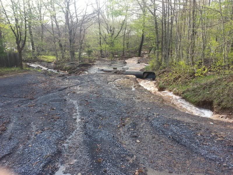
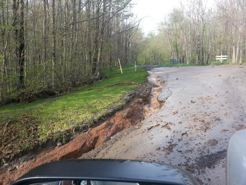
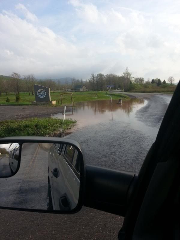
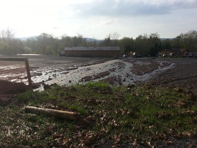
There was a freak rain storm in Canaan Valley last week. Gauges in the middle of the valley were picking up anywhere from 1 inch to 3 1/2" of rain localized in a 2 hour time period. However there were localized reports of 6 + inches of rain in that time period at the top of Old timberline gated community and Dolly Sods (that would have been a lot of snow!). Their was extensive damages to roads, culverts, trails, and property on the side of the mountain below Dolly Sods all around Timberline. Many of the neighborhoods surrounding Timberline ski resort have been busy cleaning up damage debri, replacing culverts, making roads passable, and redesigning storm water drainage systems. Chip has a couple pics of some of the trail work they have been performing after the storms on the whitegrass website, although it didn't seem to hit as hard over at whitegrass as it did near Timberline resort....will be interested in any first hand condition reports of Timberline downhill bike trail system as well as general hiking trail conditions at top of Sods? I've never seen anything like it around here and other locals were saying they hadn't seen anything like it since the 85' flood. Wild and Wonderful!
Here are some pics I took the next day after the storm while working in that area:

Yep, that was a road in the pic above


thats a culvert stickin up in the air and it aint a pond...its a road entrance

Our property manager said there was LOTS of water damage in the lower level of homes on Winterset, and elsewhere on the mountainside.
I checked my house and condo at the base area. I could see where the water had been around my house but hadn't gone into it. The condos were mostly dry with the exception of one which we had just completed moistueproofing the crawl space. The big loser was yoakum run itself. It changed it's stream bed in a few places and filled in at others. Places of it had washed out 2' deeper and others filled in by almost 3'. There have been increasing run off and erosion issues with the build out of Northface and the change in drainage from t-line.
This same storm made a direct hit on the Lost River valley area with similiar damage in places on back roads. Everywhere from Lost City (where I'm located) down to Wardensville was caught in the swath with anywhere from 2.8" - 5" of rain in a similiar time period. Several of the back roads where pavement ends on the shoulder and dirt begins, had 2-4' trenches that you surely didn't want to get stuck in. Rt 259 between Baker and Mathias had upto 3' of water covering it with tree debris and partial trees washed out into the roads. It was a nasty one for sure!
Brad,
Thought you were in Midwest?
Not yet. I had a job interview in Nebraska back in the late winter, but that didn't pan out. However it's still on my radar.

Join the conversation by logging in.
Don't have an account? Create one here.