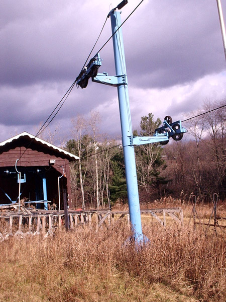
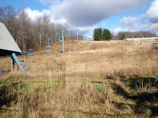
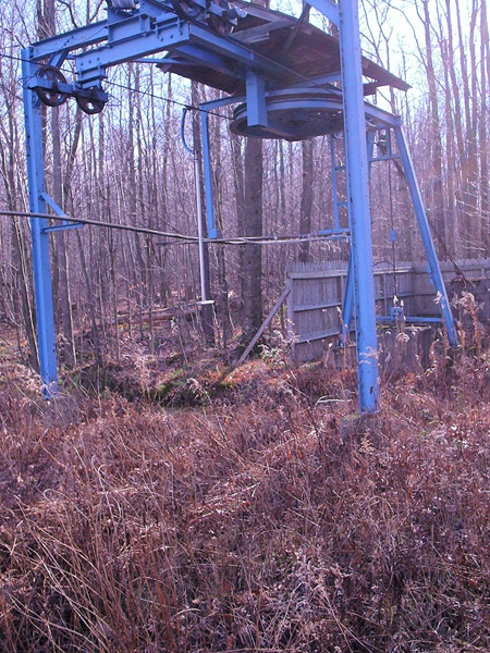
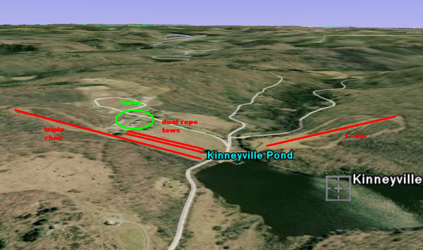
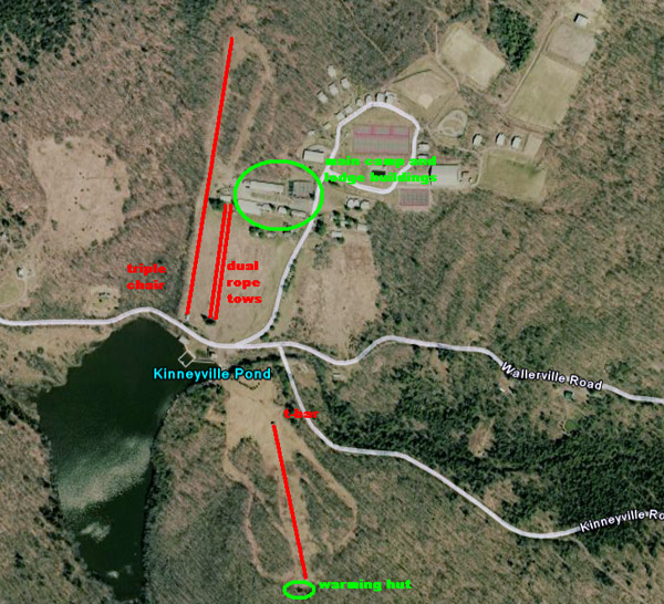
looking at the photo of the triple chair, I think it might be a Hall, not Borvig, but I'm no expert
I am very sure that the Triple is a thokel, because Borvig's lifts didn't have chairs like that, or those kind of towers or drive terminals. Hall had similar chairs and towers, but the Drive terminal wasn't so big, and the drive didn't have gigantic legs on the sides of it like that.
Correction: Thiokel, not Thokel
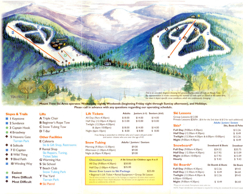
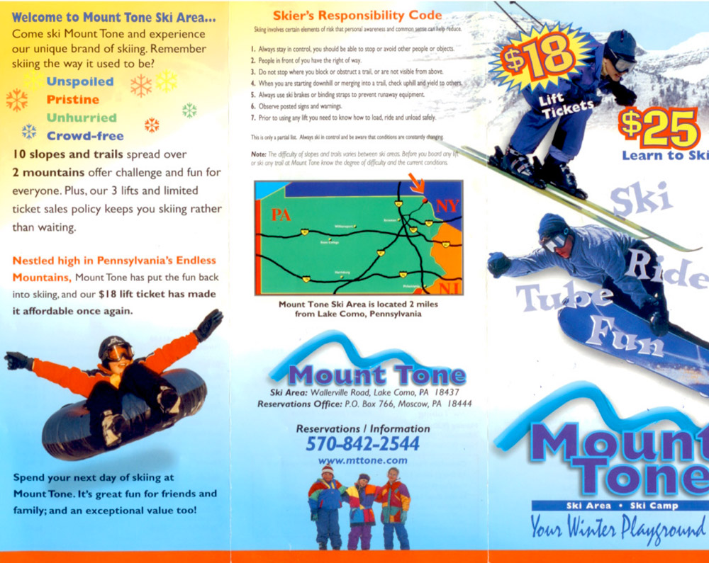
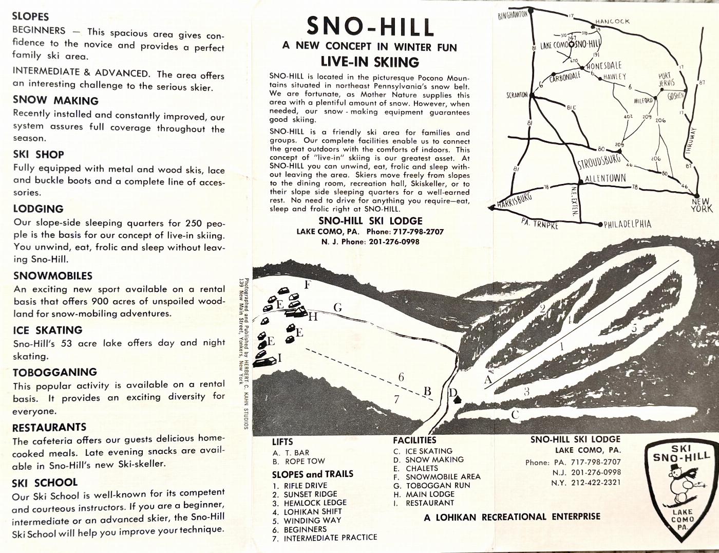
nice trail map and brochure.
I learned to ski at Mt. Tone 34 years ago. I used a pair to 210's, I remember it was -10 degrees. The following year my new wife started there and when kids came along both of them did the same. It was a home from the first time you walked out the door of your cabin. When I heard they closed I felt like I lost a freind. It would of been a good place for my old knees.
i was the ski school director at mt tone for the last 7 years. i really miss the place. sure, it was a small hill compared to most, but the people that worked there and the guests that skied there i will miss the most.
Mt Tone is an awesone place to be. Our school used to go there on Ski trips when I was in the Geology club. After we graduated high school, about 20 of us continued to go up there and ski. It didnt have the best slopes but we ALWAYS had a great time there! We will definitely miss it!!!!!
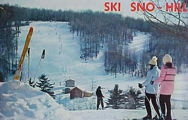
That's a hall t-bar with out a doubt, skied there in around 2001, sad to hear it's gone, had a great time!
I met my fiance here...god I miss the place...by the way I think that was Garth that posted the message about ski school..if so, Hi garth. I'm still sad to hear it's closed
There is a new website, under construction, that will be providing additional information about this former ski area. www.mounttone.com.
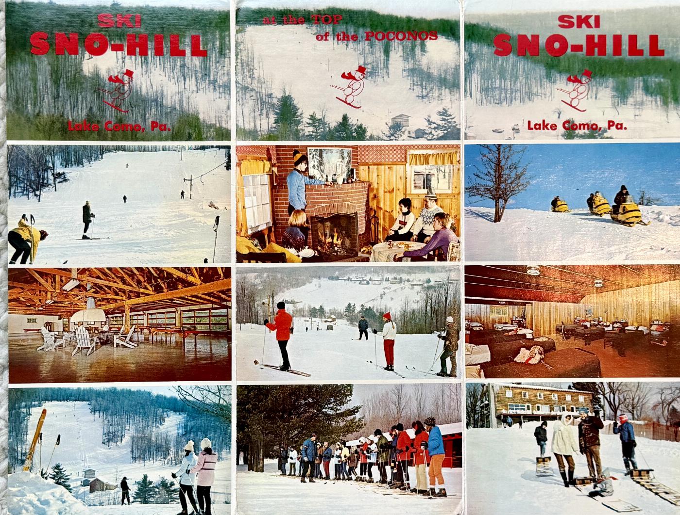
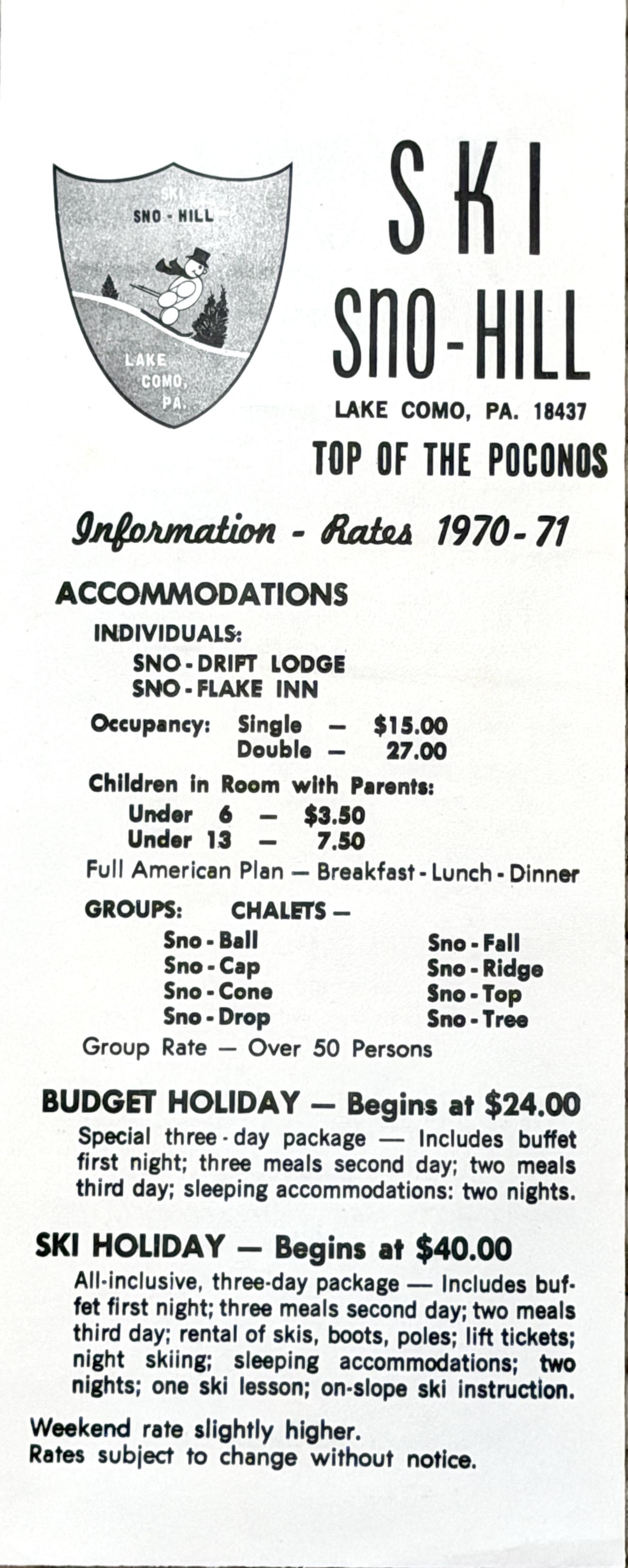
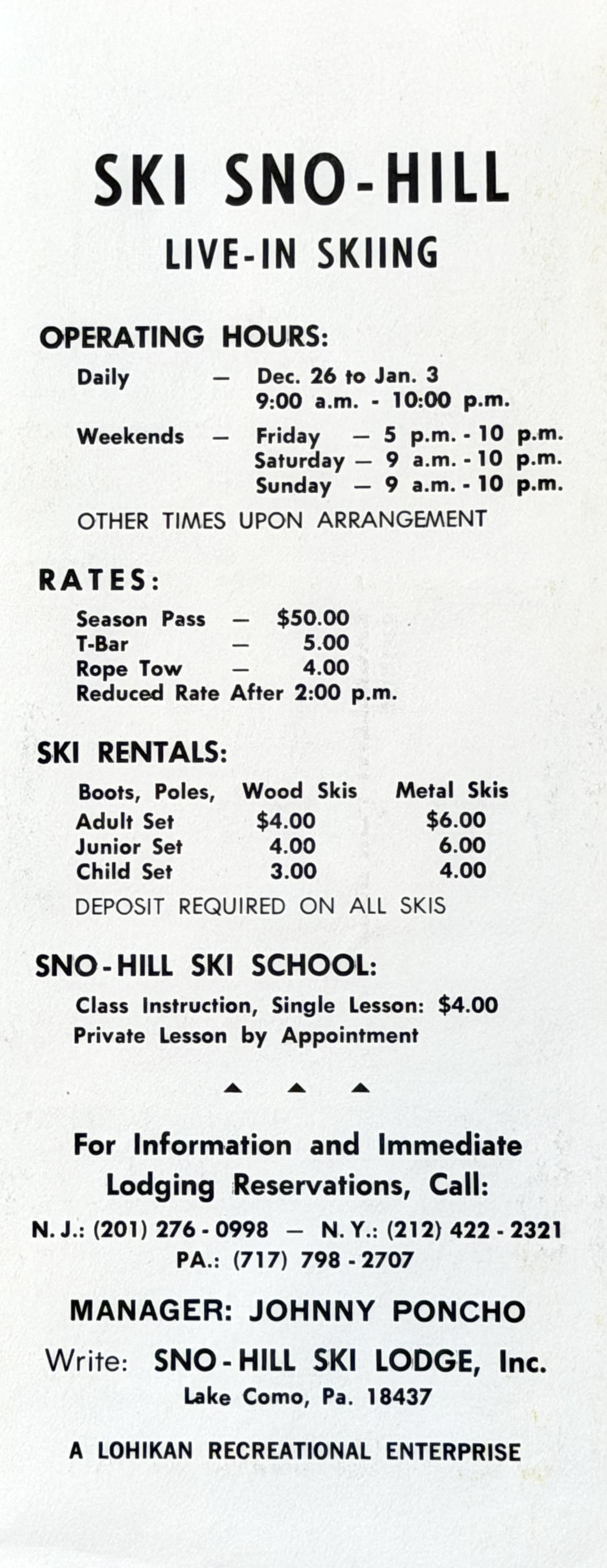
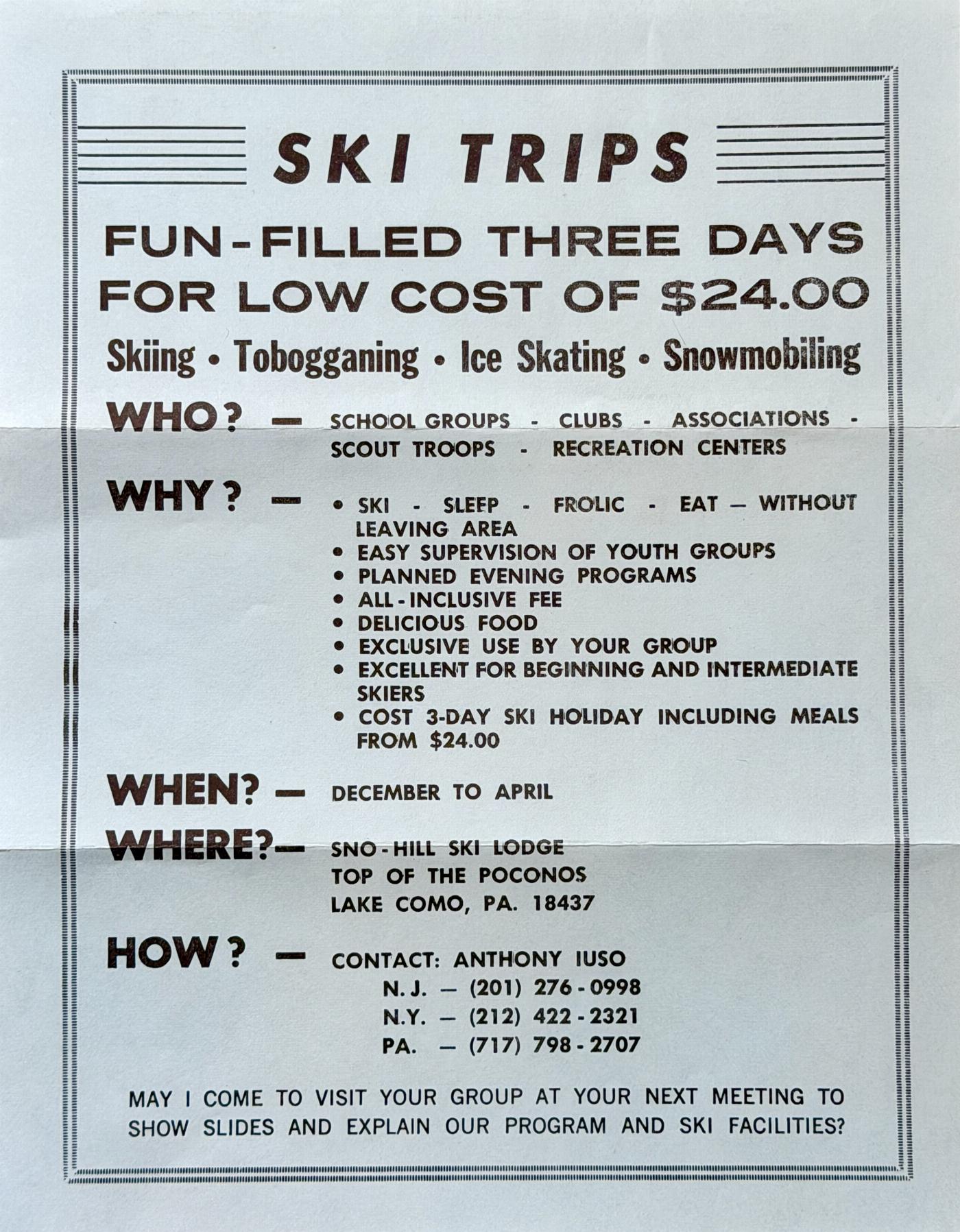
Though I never got to ski at this area, I have some great memories of when it was a camping center for school groups. For several weeks in the early 70's, around 73 or 74 I was a counselor with the school groups. The guy who ran the place was Pancho. I have no idea what his last name was. But as a reward for the kids one year/session he gave them all a ride on the brand-new (at least it was then) chairlift.
This was a beautiful setting & I'm sure in the winter it was just as wonderful. I wish it was still up and running. But businesses come and go & I can't even imagine how tough it would be running a ski area.
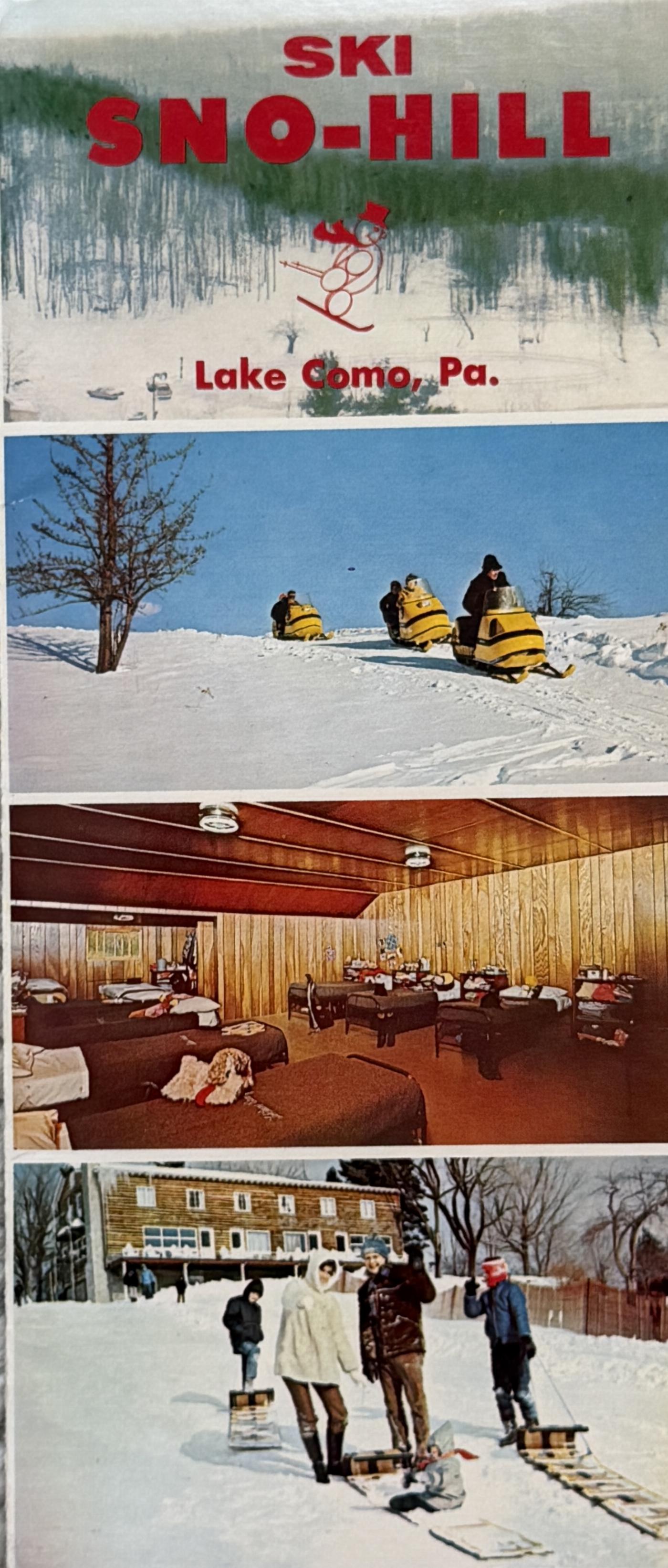
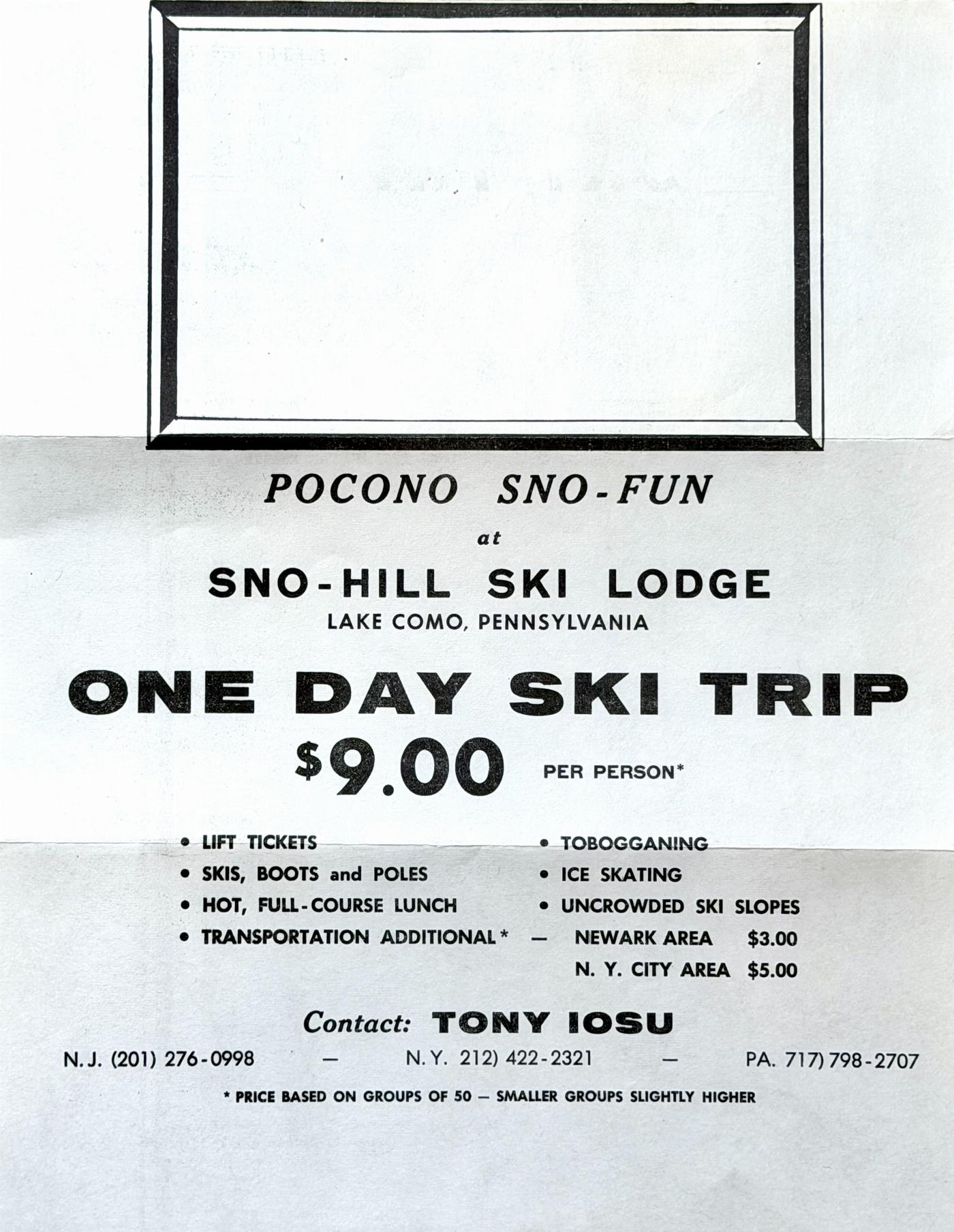
One more thing, back then it was called "Sno-Hill."
Anyone have any idea when it was first named Mount Tone and why they gave it that name?!
Pete
Mount Tone was awesome, it is too bad it closed. If it is for sale I will buy it and re-open it as a world class ski resort.
If anyone knows conact information for the seller of Mount Tone please post it.
This place had $1.99 tickets for week day night skiing around '77-'78 and had a older ski instructor that would ski backwards while holding the ski tips of his students all the way down the hill. Does anyone remember his name? He was a really friendly guy. I think his name was Herman or something like that. Is he still around?
I worked at the ski school for five years in high school and college in the early 90's. It was a lot of fun and a great place to learn and help help others learn.
It's too bad this ski camp ceased operation. It was a great place to take a group of kids for the weekend and just let them have at it. They had free lessons for beginners.
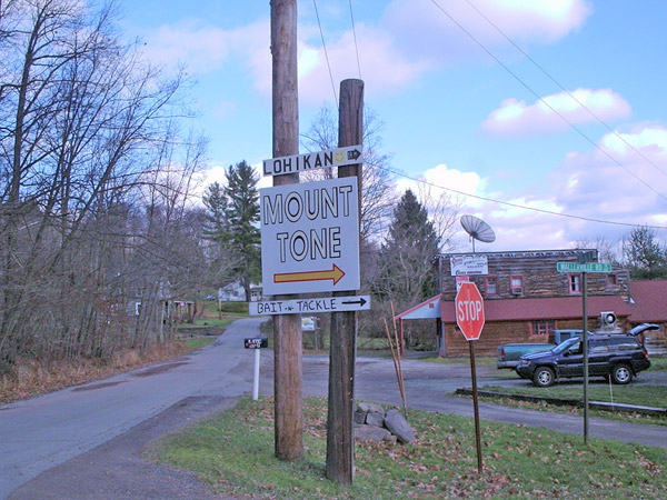
The property was also a summer camp and is now exclusively run as a summer facility as Camp Lohikan.
I learned to ski at Mt Tone and continued to ski there from the early '80's to the early '90's. I preferred the T Bar Hill. There were more trails there and it is steeper. I also remember the older ski instructor. I believe his name was Henry. He helped my mother and sisters learn to ski. He skied backwards holding my mom's skis while she was learning. I was sorry to see Mt Tone closed as my daughters are skiing now and I would have taken them there.
BTW: I know Henry died. Sometime in the early nineties.
The old instructor was Mr. Nyberg. He was older than dirt, but could out-ski the teens. Great old place. Owned by the Buynak family. Heard rumors of an accident with some trespassers and a sno-cat, and that's why they had to close. Don't know how true it is.
Hey all. Garth here. I'm looking for any members of my staff, and friends from Mt Tone. Please e-mail me: gmansez@yahoo.com
Hey to all. You know how much I miss it. I can still remember the backflips under the chairlift. Now all I can do is go to Elk...throw one and wait for the first guy to try and tackle me and threaten to kick me off the mountain. Hope to hear from some of you. good times had by all
Danpfishes@yahoo.com
Can anyone help me find a mt tone ski sticker.
jwvienna@ptd.net 570-675-7913
Came accross this website while surfing at work.Brings back good memories. In the late 80's early 90's there were many locals who went skiing then snowboarding there on the weekends and Christmas Holiday's. Many very good skiers and snow boarders started on this hill. I have several friends that are now doing amazing things out west and to think they started here. The staff gave my group of friends much leeway and allowed us to build jumps throughout the trails where many of us perfected our skills. The hill just did not have enough local support once the 2000's hit as many people moved out of the area. It's too bad was a great place and for $100 you could ski all year.
I am so sorry to hear of the closing of Mt Tone! I have wonderful memories of bringing our Sr High Youth Group and other adults for church weekend retreats. My older two boys learned to ski there. What great times we had racing down the hill, sleeping in the cabins, eating the cafeteria food, group time in the lodge, and just enjoying a weekend away. We still talk about those special times!
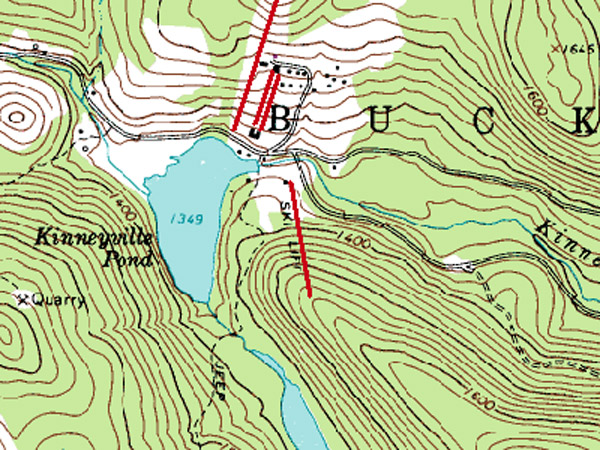
I grew up skiing here as a kid from time to time. We lived in nearby Pleasant Mount and Mt. Tone was the least expensive place to ski. We often went with the boy scouts or for a family ski day on a Sunday afternoon. Two items of note...on Friday nights we clipped coupons from the Wayne Independent and were able to ski for $1.99! The best/most infamous trail is not on the map shown. It was called "Shotgun" and was about 10' wide. You just pointed em straight down and turned when you came out the bottom of the trail!
After we bought our vacation house on Blueberry Lake in Deposit, we used to drive up on Friday afternoons and were able to give all 3 of our children the Friday night Special: ski lift ticket,skiing lesson and ski rentals for less than $10 each child. Otherwise, there was no way we could have afforded to give our kids this experience. Now that our children have children of their own, they wanted to give them the same experience they enjoyed as young children. Unfortunately, when I checked to see if they were still operating, I was disappointed to find that they had closed. Any suggestions for a substitute ski area near Deposit.
First area in Northeast PA to allow snowboarding. $2.99 Friday Night Skiing!
Just came across this great article on the place where I grew up skiing. Such memories of Mount Tone...
I also saw a few familiar names in the comments! Garth, I remember my first year of ski teaching when you and Scott were there. And Brad and Crosby, I remember skiing with both of you (and getting chased/yelled at by Ski Patrol for building jumps :)
Matt Nebz, I used to ski a lot with your cousin Steve. The "Shotgun" trail I believe was officially "closed" in the years I was there, apparently because too many people were getting hurt on it. You could still go down it though if you ducked the rope and didn't get caught ;) You said it right though: all you could do was point your skis straight and get ready for the little dip at the bottom!
To Tim and chickadee: I had Henry Nyberg as a teacher at Hancock my freshman year, and while I can only vaguely remember him skiing, his daughter Karen (who went to school with my sisters) taught at Mount Tone and was my first instructor.
If any of you would like to reconnect, my e-mail is jeffATskijmprDOTnet.
That place was a blast. We asked the guy running the lift if we could build a jump; he handed us a shovel. We hiked the other side of the road to ski in powder that was up to our waists. The tow rope on the bottom was tricky. I dont know how they got beginners to use it, it always felt like it was going to burn a hole through your gloves. I miss that place..
I learned to ski here myself. Used to visit my grandmother on long weekends when I was younger. She lived just a few miles away. We would ski all day saturday and saturday night. Now, I have kids of my own and wanted to go back not realizing that the place wasn't even open anymore.
I basically spent my childhood growing up at Mt. Tone. "Pancho" was my Dad and I was there during all seasons. Many many fond memories and fun times that is for sure. Everybody always seemed to have fun year after year.
Although a bit before the ski area, I attended the summer camp from 1953 to 1959. I weighed in on the Snow Hill website but it had been taken down. The minute I saw Kennyville Pond, I knew I had the right place again. I knew David's father, Poncho, as he was the archery instructor and when it ceased being a summer camp, he ran the retreat facility. I would love to hear from Snow Hill alumni. rfolia@comcast.net
I skied mount tone in 1986 and went to camp lohikan for the 2 summers after. I am still in the ski industry and manage a shop in jackson hole. Learning in the east makes us better skiers.




Reader Comments