Kevin Whipple provided the following information about a Lost Ski Area in Pennslyvania:
“There was once a ski tow (or multiple tows) on a hill within Lackawanna State Park, outside Clarks Summit, Pennsvylania in Lackawanna county. It was open before the park’s creation, and closed around the time the park and man-made lake were constructed in the early-to-mid 1970’s. Aerial images show clearly the main tow and slope, but it looks like there might have been more to it. There seem to be old trails, some fairly wide, snaking around the hill with one or two straight shot lines with poles running up them. I couldn’t find any sort of lift remnants except these poles (some had a communication line strung on them), but I can’t say they they had anything to do with a tow lift.
The area is now on State Park land and has some park-maintained hiking routes around the old ski slope. The main slope and towline need to be bushwhacked to find, and have become heavily overgrown. The base lodge is still standing, but is falling into disrepair. The trailsand towline had pine trees planted along their edges (probably for snow retention and wind protection) thatmust have made them scenic. Now the pines are taking over the hillside.”
Kevin provides the following photos:
|
|
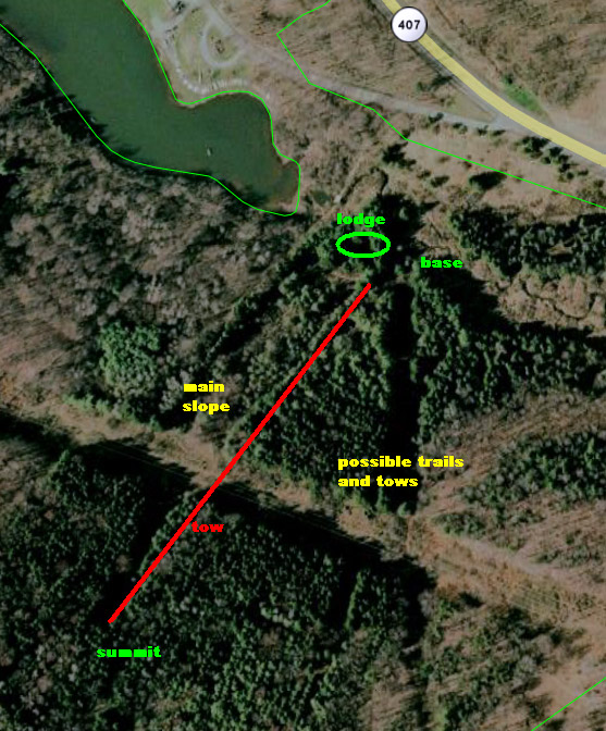
An aerial image showing the towline, main slope, lodge, and area where there appeared to be trail and lift remnants. Image provided by Kevin Whipple.
|
|
|
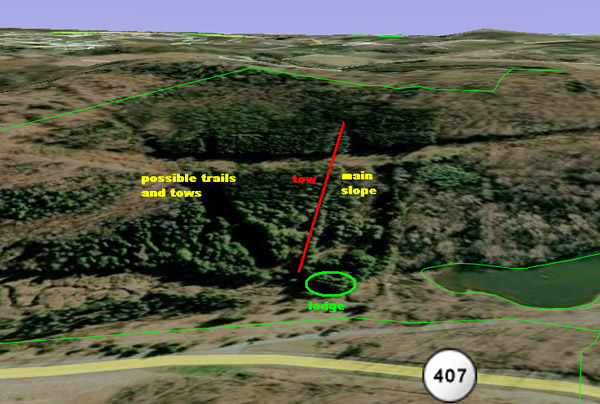
A Google 3D view of the area. Image provided by Kevin Whipple.
|
|
|
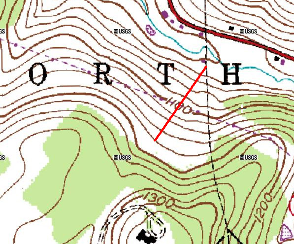
A topographic map of the area with the towline indicated. Image provided by Kevin Whipple.
|
|
|
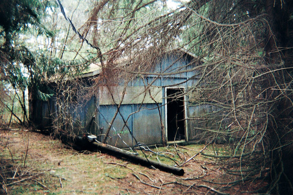
A shot of the base lodge. The main tow base is adjacent to this building. Photo provided by Kevin Whipple.
|
|
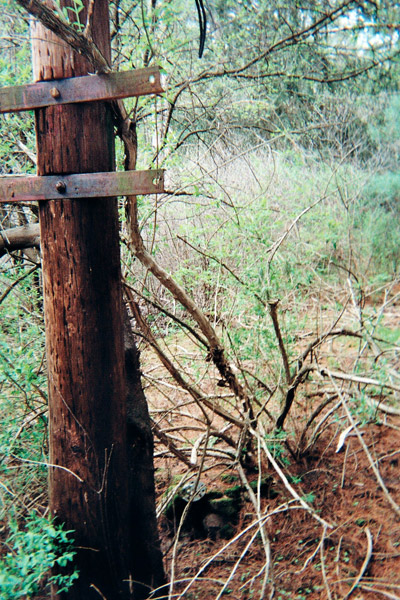
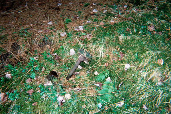
|
Remnants of the base station for the main tow. Photo provided by Kevin Whipple.
|
|
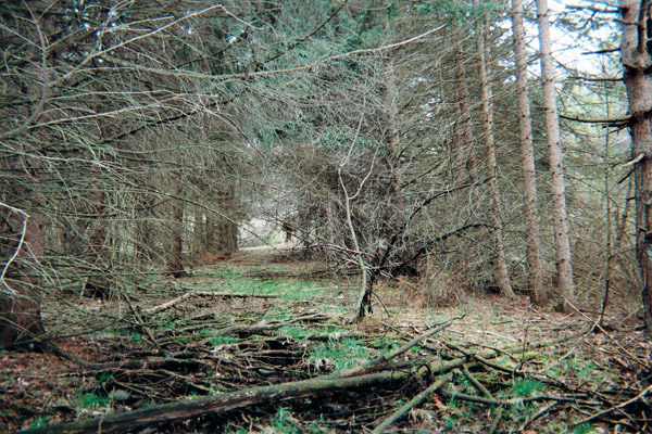
|
Looking up the main slope from near the base lodge. Photo provided by Kevin Whipple.
|
|
|
Looking down the towline from somewhere just about the powerline cut. Photo provided by Kevin Whipple.
|
|
|
The top unloading area for the main tow. Photo provided by Kevin Whipple.
|
|
|
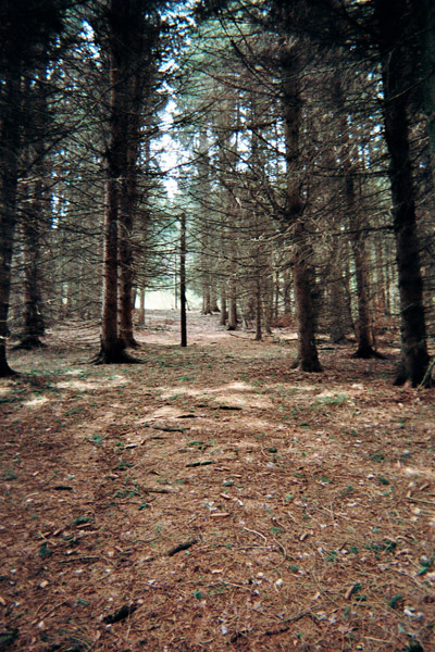
The top remnants of the main tow. Photo provided by Kevin Whipple.
|
|
|
Looking down the main slope from the top of the tow. Photo provided by Kevin Whipple.
|
|
|
Looking up a pole line running up a different part of the hillside next to the main slope and tow. It may not have been a tow at all, but it ran straight up the hill with pines planted along it, right next to what really looked like a ski trail. Photo provided by Kevin Whipple.
|
|
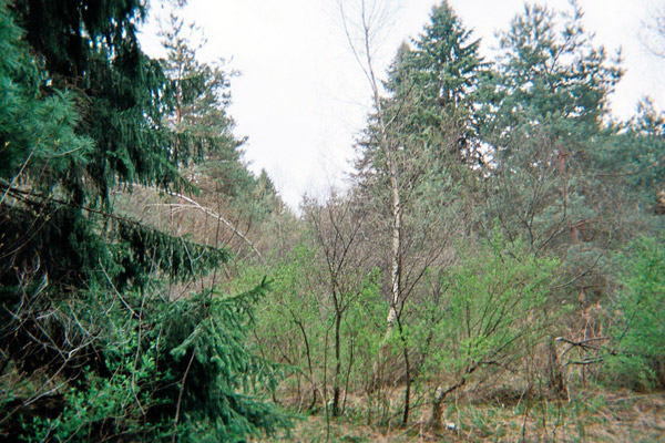
|
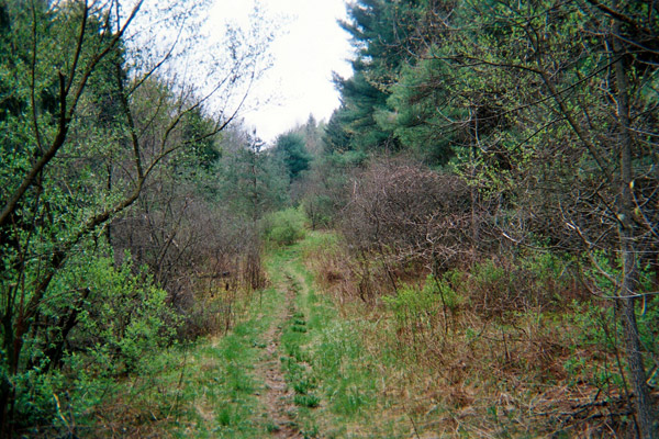
Looking up the slope that ran adjacent to the unknown pole line. Again, pines were planted along the edges and are retaking the hill. This might have just been some sort of powerline or road, but it looks like an old trail, along with what looks like a liftline next to it. Photo provided by Kevin Whipple.
|
|
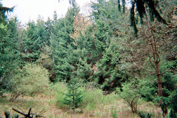
|
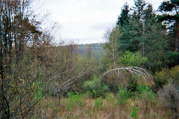
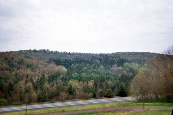
The hillside from the hill across the valley. The pines are starting to take over what was once the ski hill. Photo provided by Kevin Whipple.
|

